
Madeira’s levadas are more than hiking trails — they’re an engineering network that shaped the island’s economy, landscapes, and daily life for centuries.
Built to move water from the wetter North to the drier South, levadas started in the 15th century and gradually expanded into one of Madeira’s most remarkable pieces of living heritage.
- Created to irrigate sugarcane fields (Madeira’s “white gold” era)
- Later essential for vineyards and the rise of Madeira wine
- Today: still used for irrigation & hydropower — and loved as scenic walks
What are Madeira levadas?
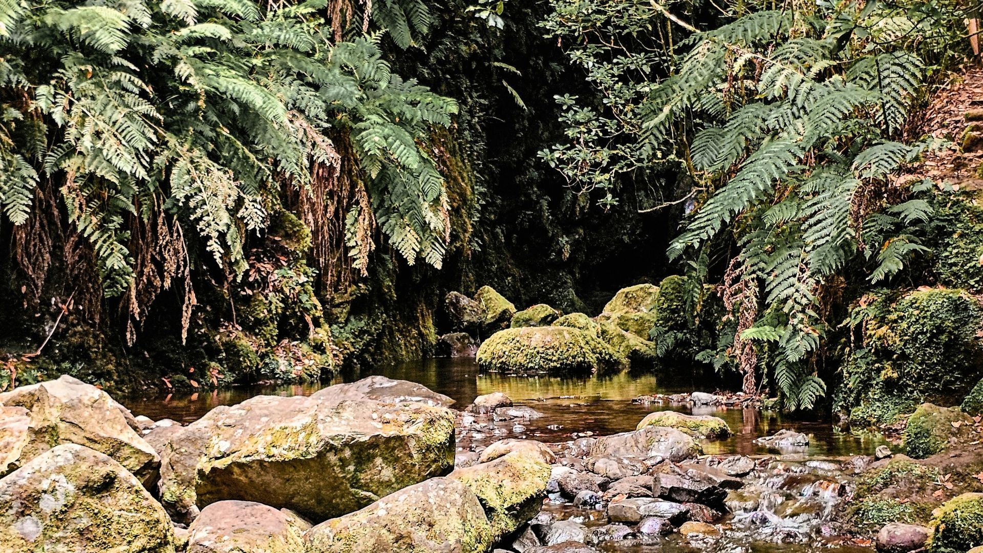
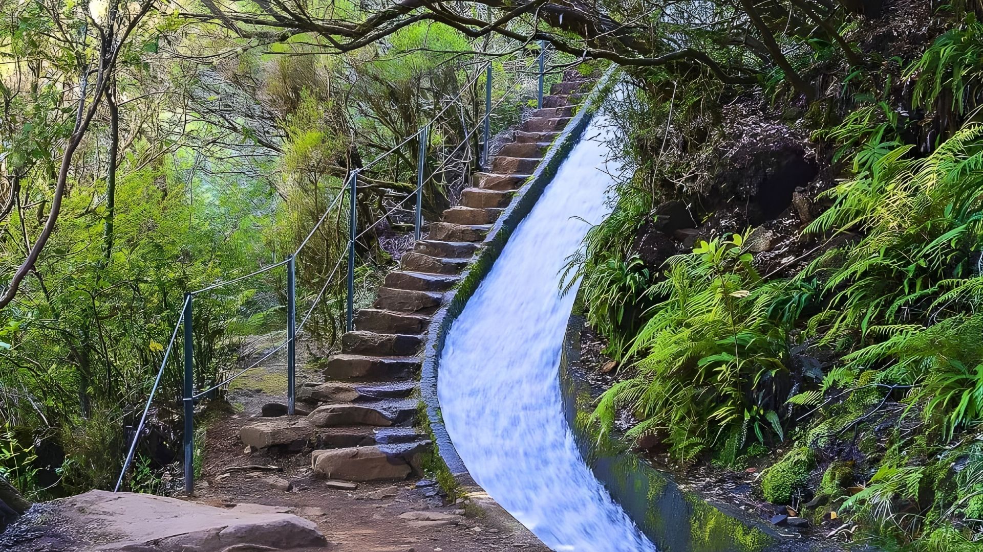
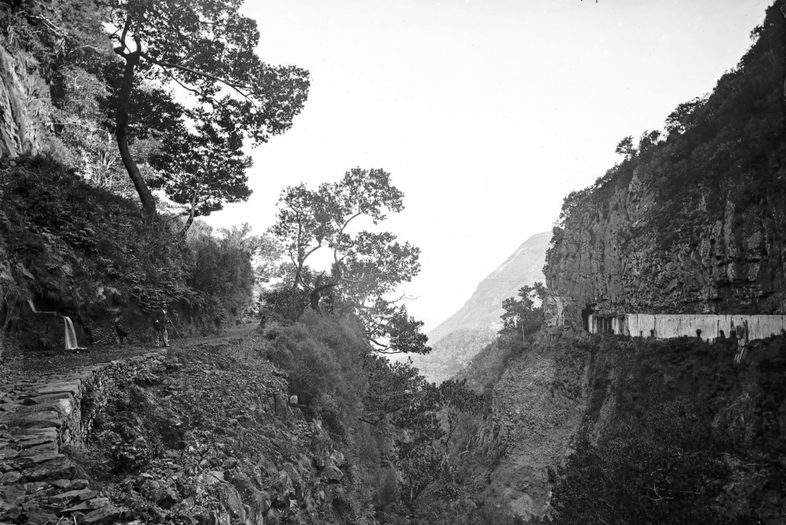
A levada is a gently sloped water channel (often with a narrow footpath alongside it) designed to transport water across the island. Madeira’s geography creates a natural imbalance: the north is generally wetter, while the south is drier and historically had more farmland and population.
The solution was brilliant in its simplicity: capture water where it’s abundant, guide it along contours and cliffs, and deliver it to fields, mills, and later hydroelectric stations. Over time, these channels became “routes” — and those routes became the levada walks we know today.
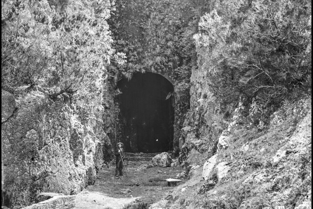
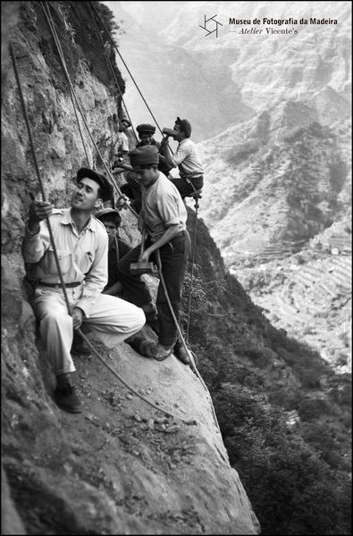
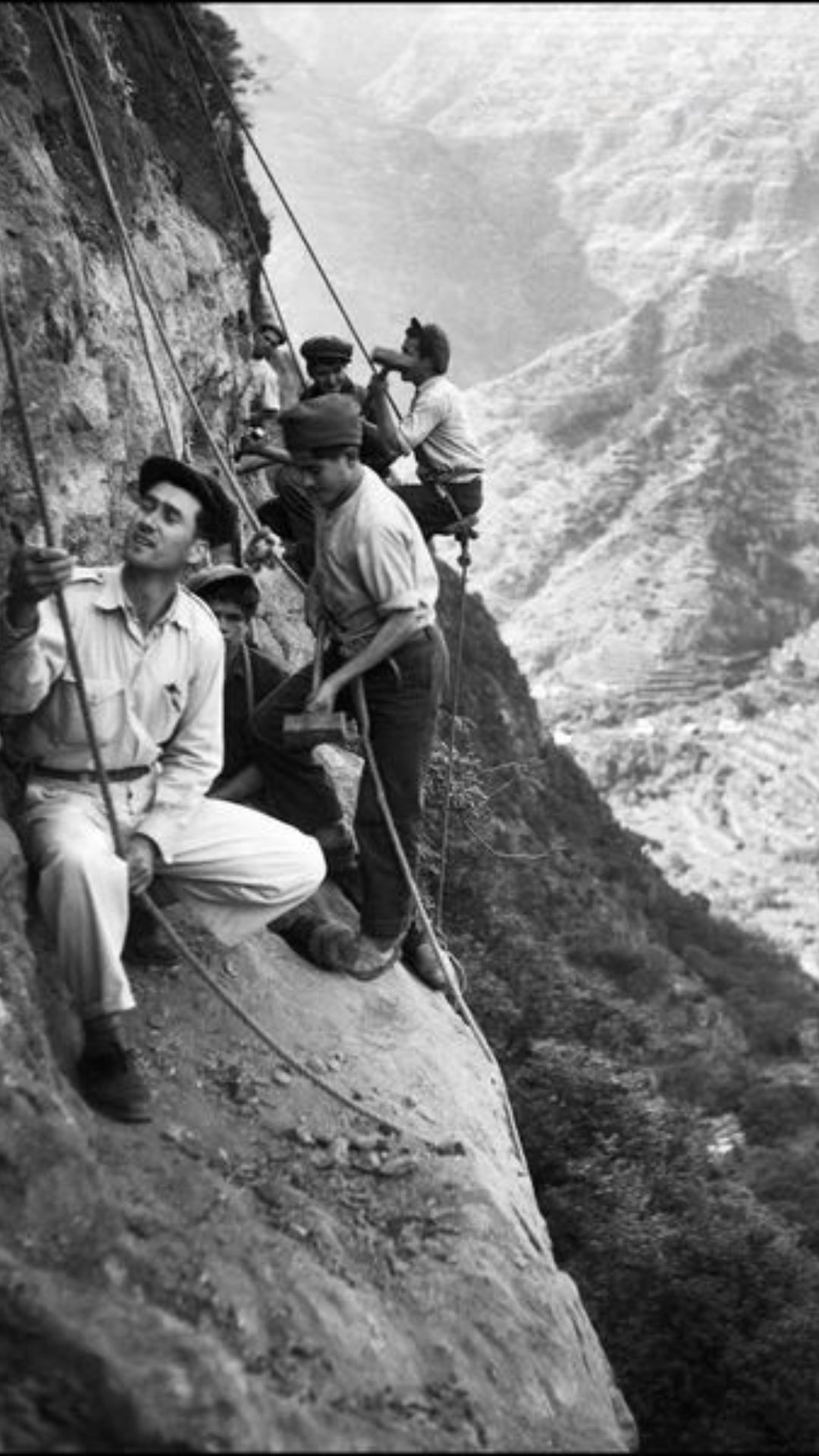
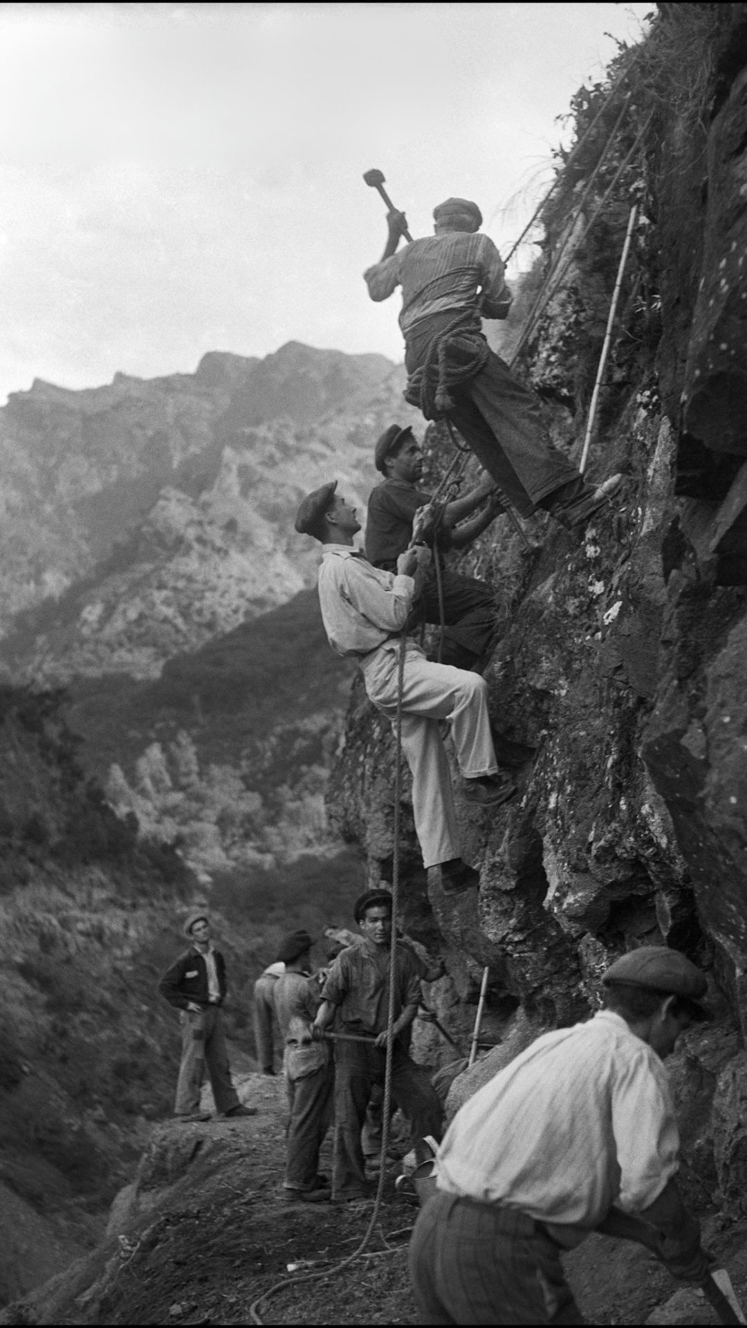
You’ll often see different totals quoted (for example, around 1,400 km in some references, or more than 2,000 km when including extensions and smaller branches). What matters most is this: the system is vast, island-wide, and historically included long tunnels and cliffside sections carved by hand.
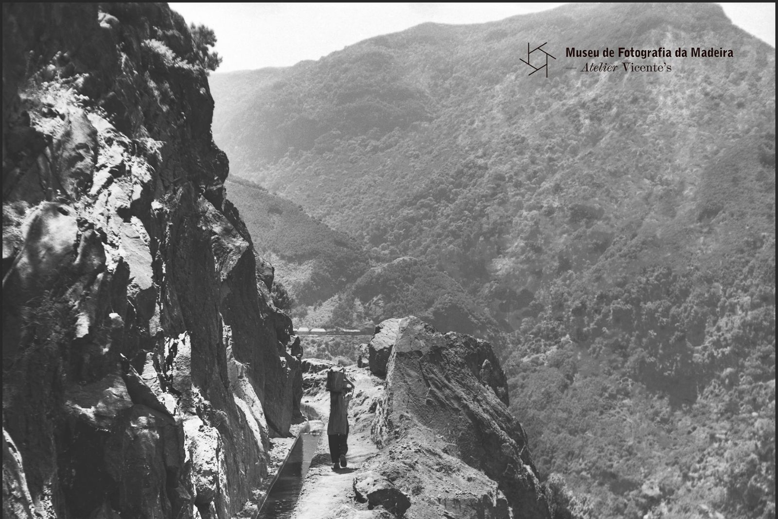
- Built across steep terrain — often along exposed slopes
- Used for irrigation first, then also for hydropower
- Turned into world-famous walks thanks to the footpath that runs beside the water
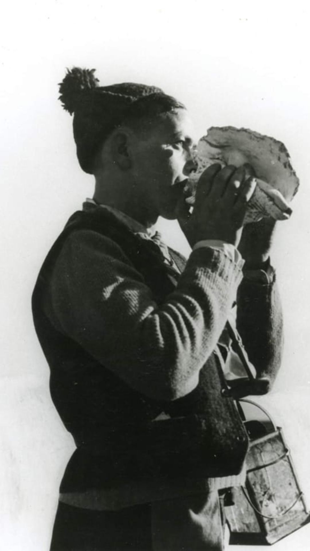
Traditional roles — the “Levadeiro”
The levadas weren’t just built — they were managed, maintained, and “operated” daily. One of the most traditional roles was the levadeiro, responsible for keeping water flowing, distributing it fairly, and maintaining the channels.
“In Madeira, the history of levadas blends with the history of people… the levada network is an astonishing monument…”
Raimundo Quintal (quoted source)In many levadas, the allocation of water followed a rotation system — often described as “water turns” — so different landowners could irrigate their plots at specific times, especially important in summer and dry periods.
Beyond water distribution, the levadeiro also cleared vegetation, removed debris from retention grids, checked gates and small sluices, and ensured water reached each outlet on time — sometimes walking long distances before sunrise in difficult terrain.
Tools, routine, and responsibility
Accounts of the levadeiro’s work mention simple but practical tools: a long implement to open and close small gates, keys for private property gates, lanterns for early hours, and even devices to help measure irrigation time. In some areas, a conch shell (“búzio”) was used as a long-range sound signal to announce that a water turn had arrived.
Water rights were serious business. Disputes over access existed for generations, which is why timing and fairness were strictly controlled. Even today, while the system is modernized in many places, the idea of water management and shared use remains part of Madeira’s identity.
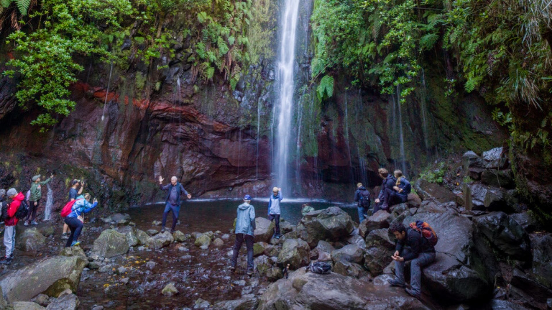
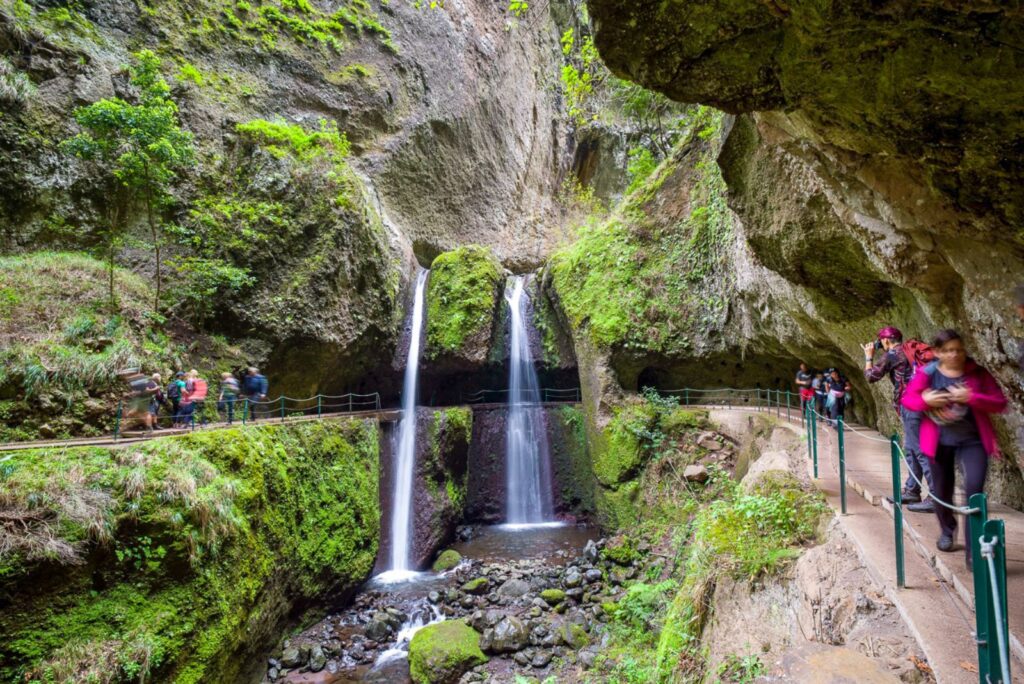
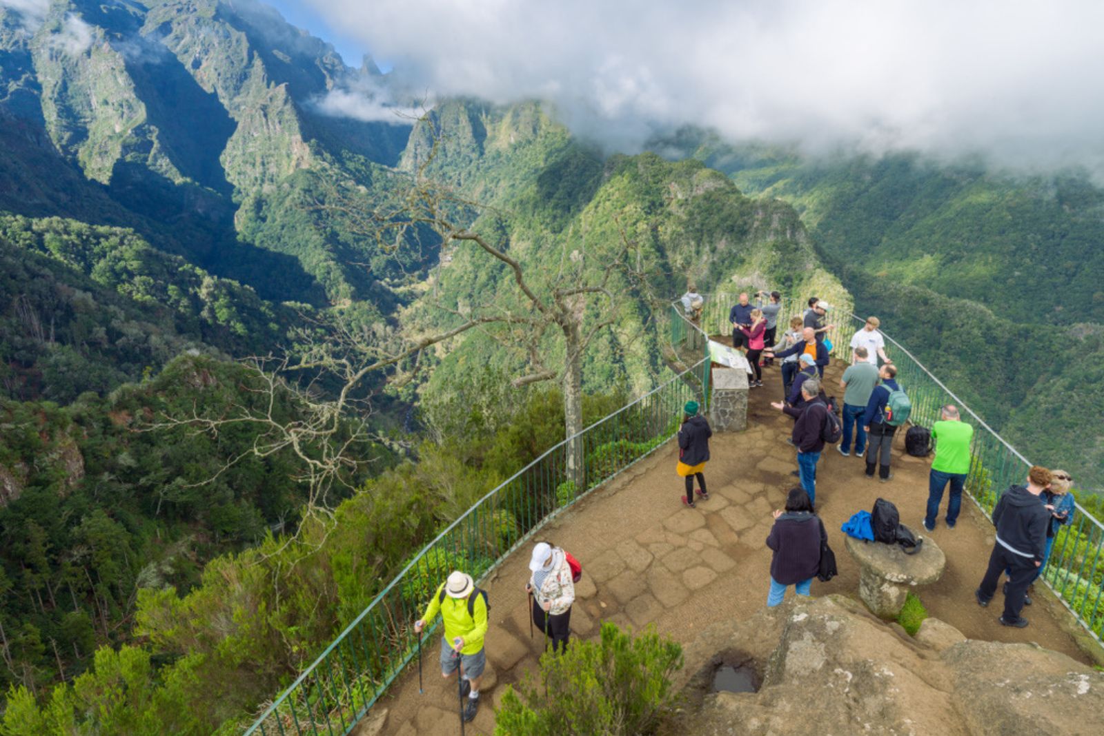
From irrigation channels to iconic walks
What makes levadas so special as hikes is also what made them special as infrastructure: they follow the natural contours of the island. That means steady gradients, constant scenery changes, and paths that take you deep into places roads simply can’t reach.
Today, levadas remain part of Madeira’s working landscape — still supporting irrigation and hydropower — while also offering some of Europe’s most unique walks through Laurisilva forest, valleys, tunnels, and cliffside viewpoints.
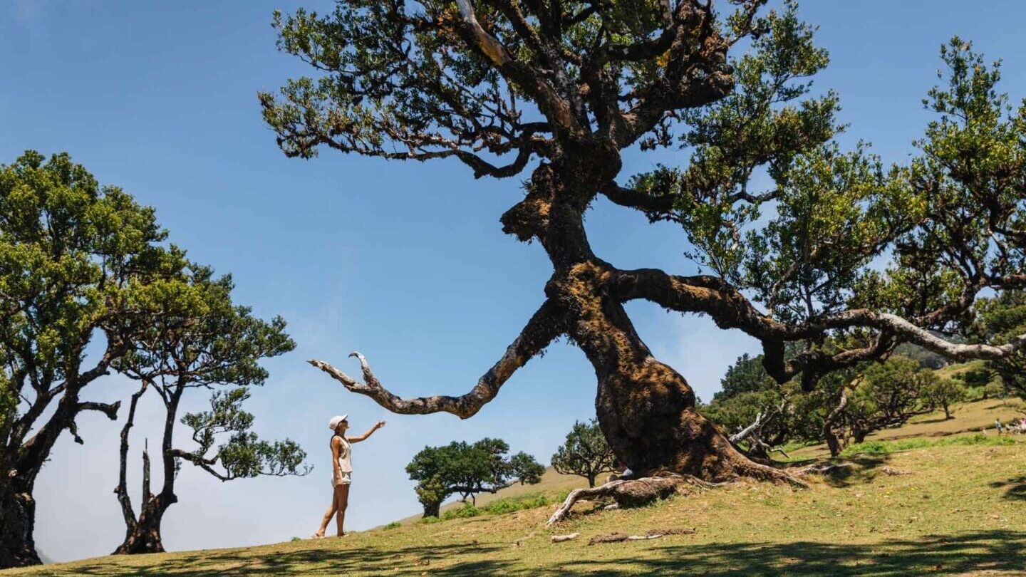
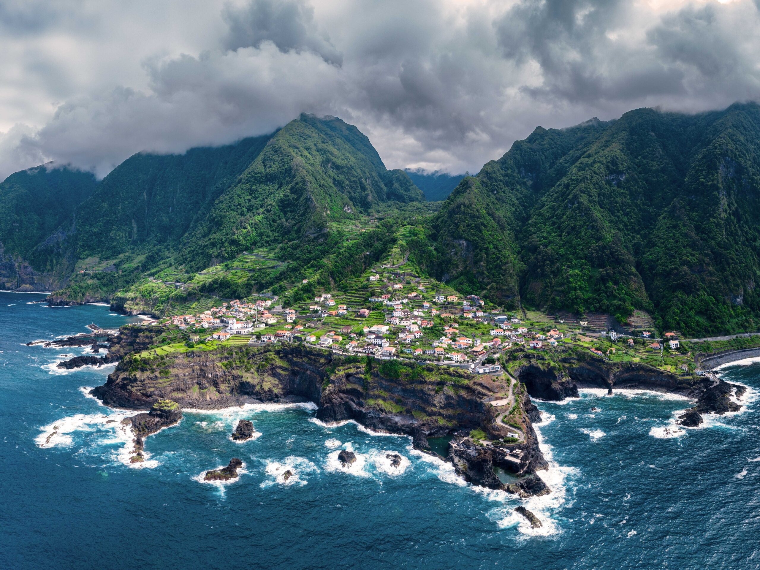
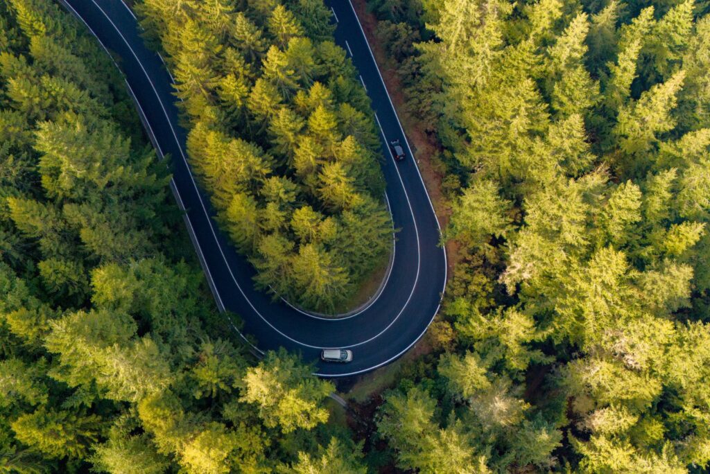
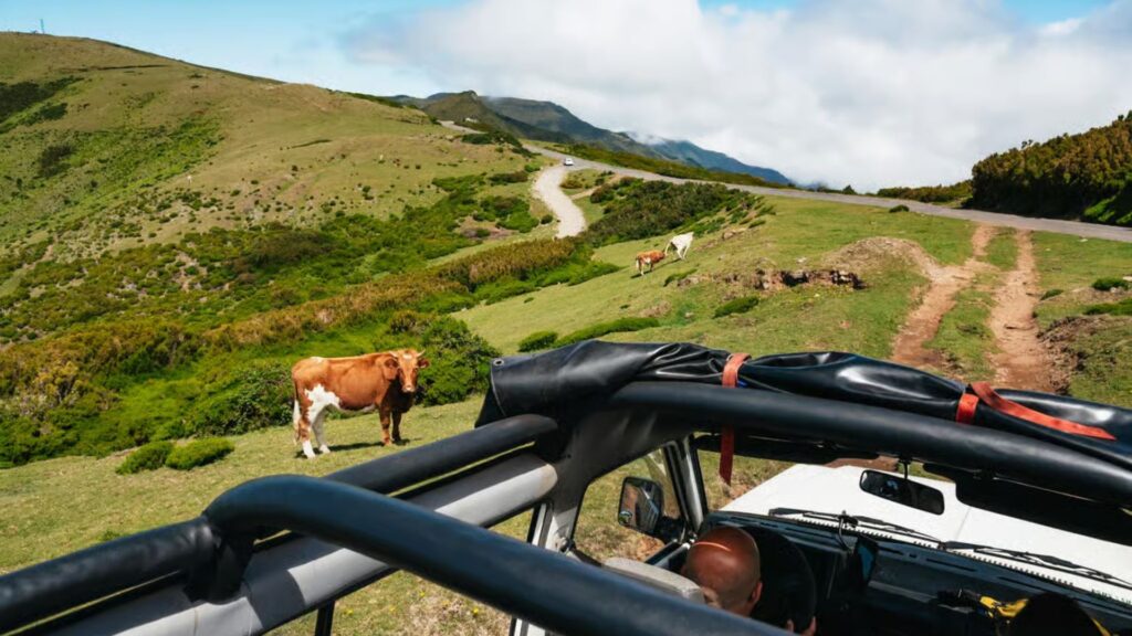
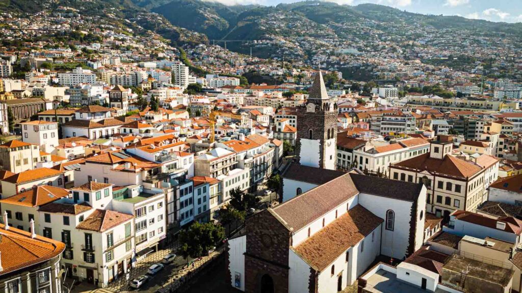
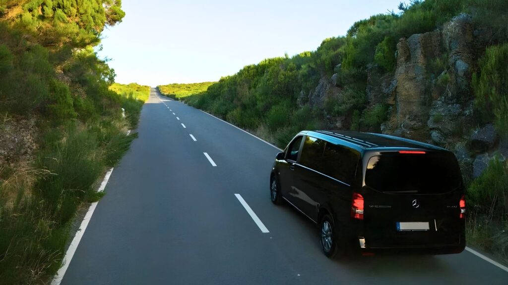
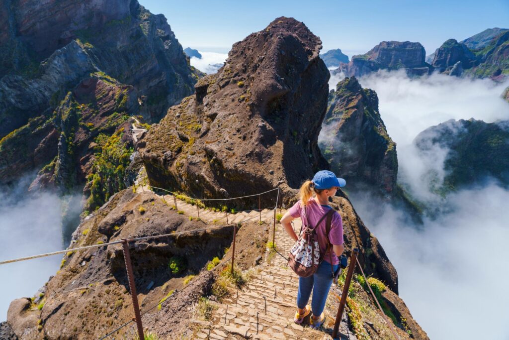
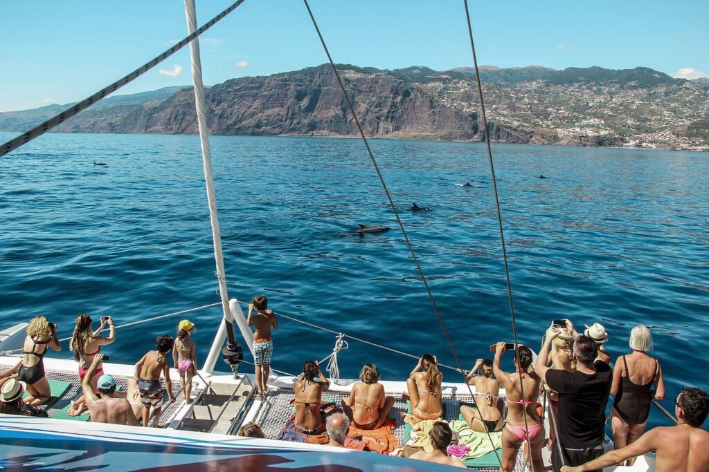
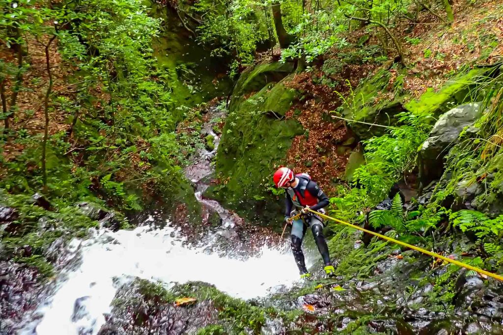
Here are a few modern levada-style scenes to visually connect the history with what you’ll experience on the island today.