
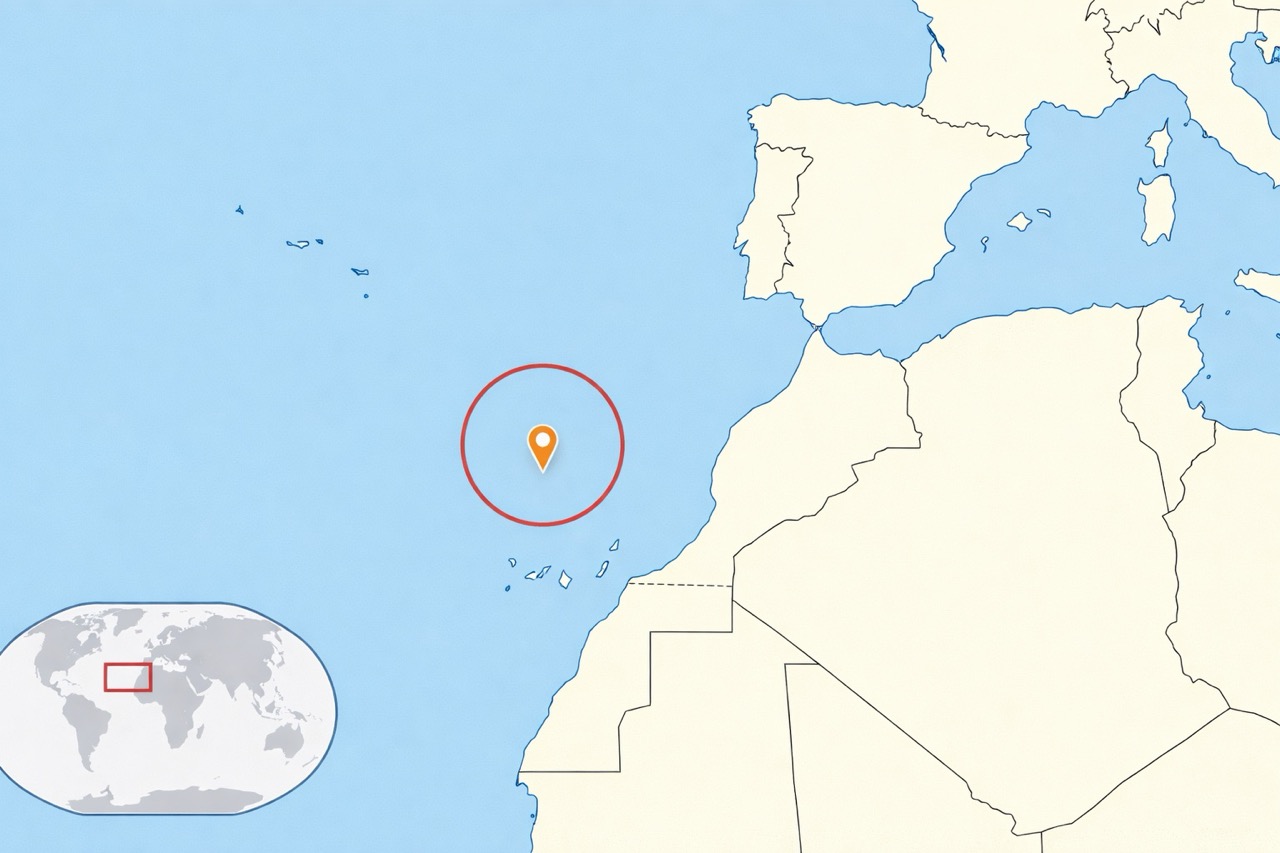
Madeira is a Portuguese archipelago in the Atlantic Ocean, around 1,000 km from Lisbon and about 700 km west of Morocco. With its volcanic mountains and ocean influence, Madeira offers one of Europe’s most comfortable climates — almost all year.
In this guide you’ll learn where Madeira sits on the map, how its microclimates work, what temperatures to expect, and the best seasons for hikes, beaches, and island exploration.
Where Is Madeira Island Located?
Madeira sits in the Atlantic Ocean, strategically positioned between Europe and Africa. This mid-ocean location shapes everything: the island’s mild weather, its lush vegetation, and the dramatic volcanic terrain.
Geographic Coordinates and Position
The Madeira Archipelago is located at approximately 32.6669° N and 16.9241° W, on the African tectonic plate. That geological fact helps explain Madeira’s volcanic origin and rugged mountain backbone.
Distance from Major Cities and Countries
To make it easy to visualize:
~1,000 km · Around a 90-minute flight.
~700 km west of the Moroccan Atlantic coast.
~450 km to the south — similar Atlantic positioning.
The Madeira Archipelago
The archipelago includes Madeira, Porto Santo, and smaller protected islands (Desertas and Selvagens). Most travellers arrive through Madeira International Airport, while Porto Santo has its own smaller airport and a ferry connection.
Before you plan your day, check the island live
Madeira’s weather changes quickly — especially in the mountains. Our webcams show Funchal, Porto Moniz, Calheta, Machico, Porto Santo and more.
Open Live WebcamsMadeira’s Volcanic Landscape
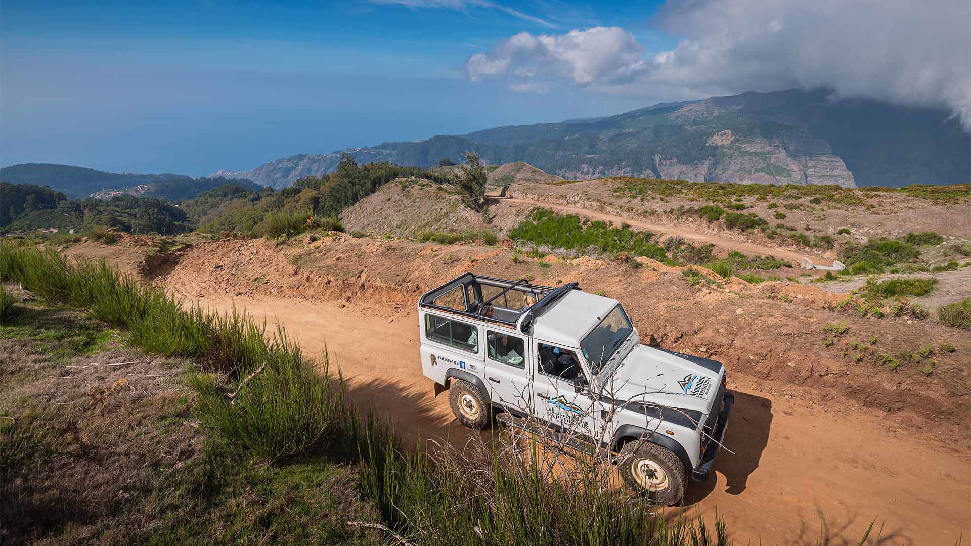
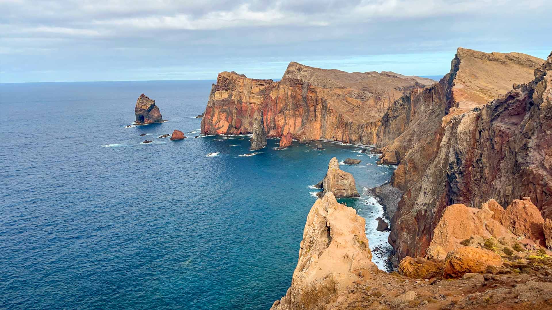
Madeira was formed by volcanic activity millions of years ago — and the island’s landscape still feels raw and dramatic: steep cliffs, deep valleys, and ridgelines that cut through the sky.
The highest peak, Pico Ruivo (1,862 m), sits above the central massif and plays a huge role in weather patterns across the island, creating cloud layers, temperature changes, and the famous “above the clouds” viewpoints.
Understanding Madeira’s Climate
Madeira has a subtropical oceanic climate: mild temperatures, stable seasons, and very few extremes. That’s why it works so well for hiking, road trips, viewpoints and nature plans almost all year.
Subtropical Climate Overview
Instead of harsh winters or overwhelming summer heat, Madeira stays comfortably balanced — with enough humidity and rainfall to keep the island green and the forests alive.
The Gulf Stream’s Influence
Atlantic currents help regulate temperatures year-round, keeping winters softer and summers pleasant. Even when mainland Europe gets cold spells or heatwaves, Madeira often stays calm and comfortable.
Year-Round Temperature Ranges
As a practical reference for coastal areas like Funchal:
15°C–20°C
Mild and pleasant, perfect for exploring.
18°C–22°C
Warm days, ideal for hiking and nature.
23°C–26°C
Peak warmth, best for beaches and swimming.
20°C–24°C
Comfortable temps, fewer crowds.
Need ideas for your trip?
Our Travel Guide helps you plan faster: best areas to stay, day routes, viewpoints timing, and the small local tips that save you time (and stress).
See the Travel GuideMadeira’s Ancient Climate History
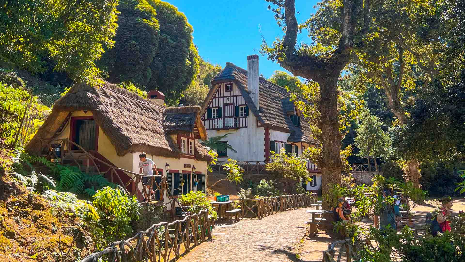
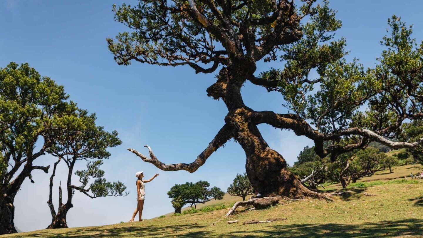
Madeira’s mild climate is not new. During colder glaciation periods in Europe, Madeira’s Atlantic position helped protect the island from the harshest extremes — allowing ancient plant species to survive here long after they disappeared elsewhere.
The most iconic result is the Laurisilva forest — a living snapshot of prehistoric European ecosystems. Today, it’s one of the most magical places to hike in Madeira.
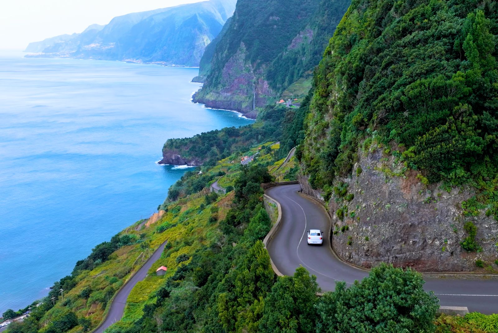
Microclimates Across the Island
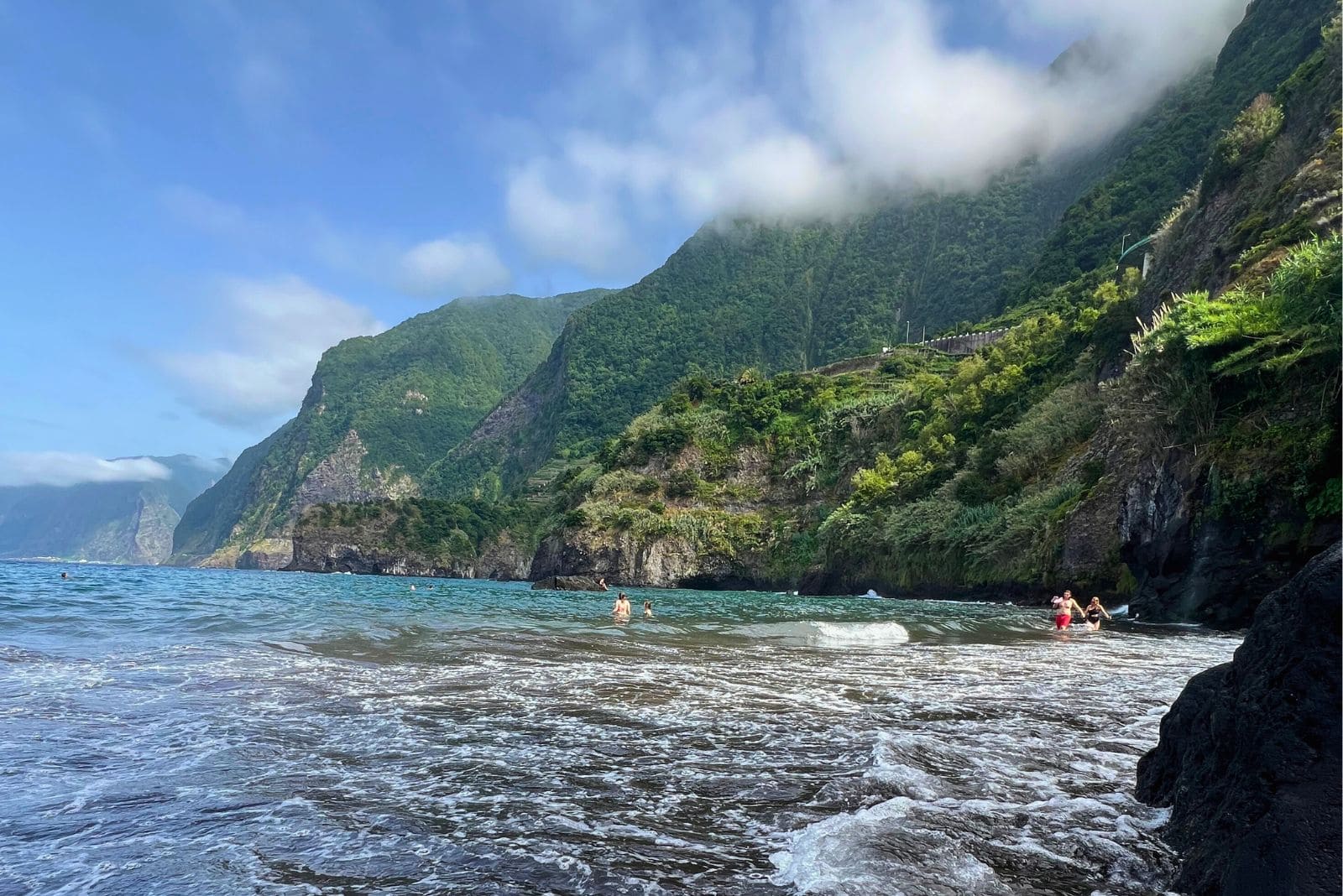
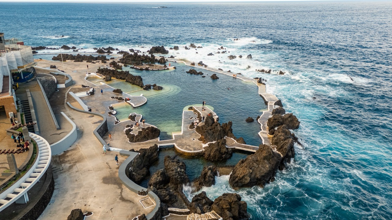
Madeira’s “superpower” is microclimates. In a single day you can have sunshine by the coast, mist in the mountains, and dramatic waves on the north coast — all within a short drive.
More sunshine and less rainfall. Great base for beach days and restaurants.
Greener, wetter and cooler — perfect for waterfalls, forests and dramatic scenery.
Colder, windier, often misty. You can drive into clouds and pop out above them.
The easiest way to “chase good weather” is by car
If it’s cloudy in one area, drive 20–40 minutes and you’ll often find sunshine elsewhere. That’s the Madeira advantage.
Rent a CarRainfall and Precipitation Patterns
Rainfall varies significantly depending on altitude and exposure to Atlantic winds. In general, the north coast and higher elevations receive more rain than the south — which is exactly why Madeira stays lush and green year-round.
Winter tends to be wetter, but rain usually comes in short, heavy bursts rather than long grey days.
How Madeira’s Climate Benefits Agriculture and Nature
Madeira’s stable temperatures and year-round growing conditions make it incredibly fertile. Tropical fruits like bananas and passion fruit thrive alongside Mediterranean crops like grapes and apples — an unusual mix made possible by the island’s climate.
It’s also why Madeira feels like a “floating botanical garden” — something is always in bloom somewhere on the island.
Sea Temperature in Madeira
Sea temperatures stay relatively stable across the year. In winter the ocean is refreshing (around 17–18°C), and in late summer it can reach 22–24°C. Porto Santo often feels warmer and calmer for swimming.
Best Time to Visit Based on Climate
There’s no bad season in Madeira — just different priorities:
June to September is the warmest and driest period.
April, May, October, November = great temps + fewer crowds.
August and September have the warmest sea temperatures.
Live Weather and Current Conditions
Madeira is a “check first, decide after” type of island — especially for mountain viewpoints. Combine live webcams with the interactive map and you’ll always pick the best side of the island.
Frequently Asked Questions
Where exactly is Madeira Island located?
What type of climate does Madeira have?
Does Madeira really have microclimates?
Can you swim in Madeira all year?
What’s the best month weather-wise to visit Madeira?
Plan Madeira the smart way
Madeira rewards flexible planning: check webcams in the morning, pick the best microclimate, and build your route using our map and travel guide.
Bonus tip: keep Webcams open while planning mountains.